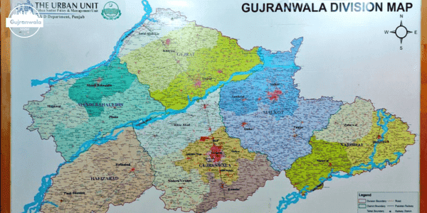
Gujranwala locates in the Punjab province of the Pakistan. There are total five Districts in the Gujranwala Division. The capital of the Gujranwala division is the Gujranwala city. The Districts of the Gujranwala divisions are written below:
- Gujranwala
- Gujrat
- Hafizabad
- Sialkot
- Mandi Bahauddin
- Narowal
Gujranwala
Gujranwala is the capital of the Gujranwala district. It is famous as a industrial unit in Pakistan. The city has the rich historical background. There are many ancient religious landmarks locates in the Gujranwala.The district has 5 tehsils and 188 Union Councils.
There are 840 villages under the Gujranwala district. District has 5 National and 12 Provincial Assembly Constituencies. The district has total population is 5,014,196.The overall Literacy rate of the Gujranwala is 71%. In which male literacy rate is 74% and female literacy is 69%.
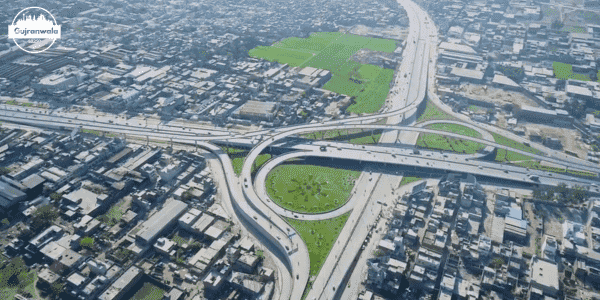
There are total 1796 industries in which 302 are Foundry Products industries, 210 are rice mills, 218 are Sanitary Fittings, 459 are Utensils industry, 196 are Cutlery industries, 149 are Fans/Coolers industries, 130 are Motor Pumps industries, 56 are Textile industries, 33 are Electric Furnace industries and 43 are Auto Parts industries. There are 24 police stations in Gujranwala. It has 07 towns and a Cantonment in district.
Hafizabad
Hafizabad is the district in the Gujranwala division. It is famous as the rice industry. Its geographical location is at the 48 kilometers west of Gujranwala. The postal code of the city is 52110 postal code/post code. There are 2 Tehsils and 42 Union councils in Hafizabad district.
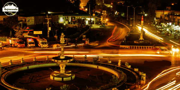
There are total 422 villages listed under this district. The overall Literacy Rate of the district is the 60%.The city has the agricultural background. Most of people around the city are farmers. There are different castes presents in the city.
The total area of Hafizabad in acres are 580,895. In which un- cultivated area is 112,956 and cultivated area is 467,939.There are also some main industries in the city including rice sheller mills , flour mills, jute mills , power looms and etc. There are 797 schools, 31 colleges in Hafizabad.
Gujrat
Gujrat locates in the Punjab province of the Pakistan. The geographical location of the Gujrat is between the two rivers Jhelum River and Chenab River. Gujrat is also one of the city contains the number of ancient sites in Pakistan. There are 3 tehsils and 117 Union Councils presents in the district.
The overall literacy Rate of the city is the 75%. As the 83.32% for males and 74.47% for females. There are 1084 villages enlisted in the Gujrat district. There are total 1509 industries in the Gujrat district. In which there are 362 Fan industry, 137 pottery industry, 05 textile industry, 01 shoes industry, 784 Furniture industries and 220 other industries.
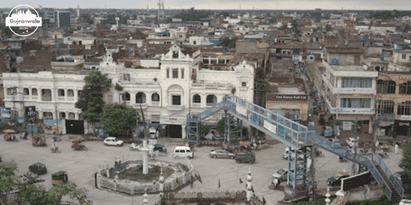
The overall cultivated area of the district is 572,911 acres and un-cultivated area is 291,314 acres. There are 04 National and 08 Provincial Electoral Constituencies. District consist of 1470 schools, 21 colleges and 01 university. There are total 118 hospitals , 22 police stations and 27 civil courts present in the Gujrat division.
Sialkot
Sialkot is considers as the 13th most populous city in the Pakistan. This District locates in the southeast of Gujrat District and the Gujranwala city in the southwest. The city is famous for the production of the items including surgical instruments, musical instruments, sports goods, leather goods, textile goods etc. City not only manufacture these items but also export them.
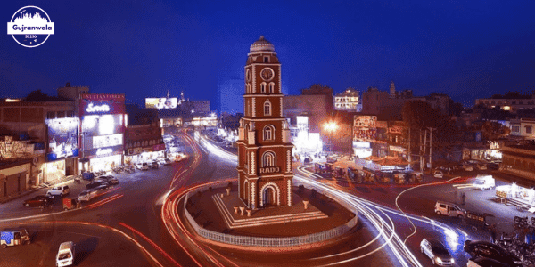
It is also considers as the second most important and largest source for Pakistan to have foreign exchange earnings. The postal code for the Gujrat is 51310 postal code/post code/zip code. The old name of the city Sagala or Sakala which has been changed to Sialkot. Sialkot includes in the list of Districts In Gujranwala Division.
Mandi Bahauddin
The city is the 41st largest city of Pakistan by population. The name of the city comes from Mandi means the market of grain and Bahauddin was a Sufi saint. The postal code of Mandi Bahauddin is 50400 postal code/post code/zip code. There are 3 Tehsils and 65 Union Councils.
There are some famous industries includes in the city includes the sugar mills , flour mills and bricks producers industries. The overall literacy rate of the city is 68%. There are total 63 hospitals . The district consist the total 778 schools and 19 colleges. There are 2 national and 4 Provincial Electoral Constituencies presents in the district.
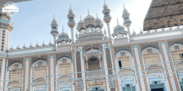
The total population of the Mandi Bahauddin is estimately 1.98 M. If we talk about the Land Statistics of the district so the land is divided into two areas: Cultivated Area and un- Cultivated Area. The cultivated area covers overall 547,279 acres.
Narowal
The district locates on the western bank of river Ravi at the northeast of the Punjab province of Pakistan. The postal code of Narowal is 51600 postal code/ post code /zip code. There are 03 Tehsils, 02 Town Committees and 74 Tehsil Councils. District consist of 113 villages in it. There are 102 total industries.
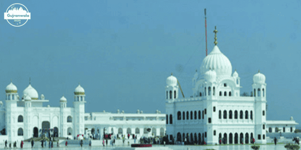
The overall total area of land in acres are 1316. In which cultivated area is 465,165 acres and un-cultivated area is 130,125 acres.There are 02 national and 05 Provincial electoral Constituencies. There are 1609 schools ,35 colleges and 03 universities. District has 40 hospitals ,14 police stations. It is the one of Districts In Gujranwala Division.

